
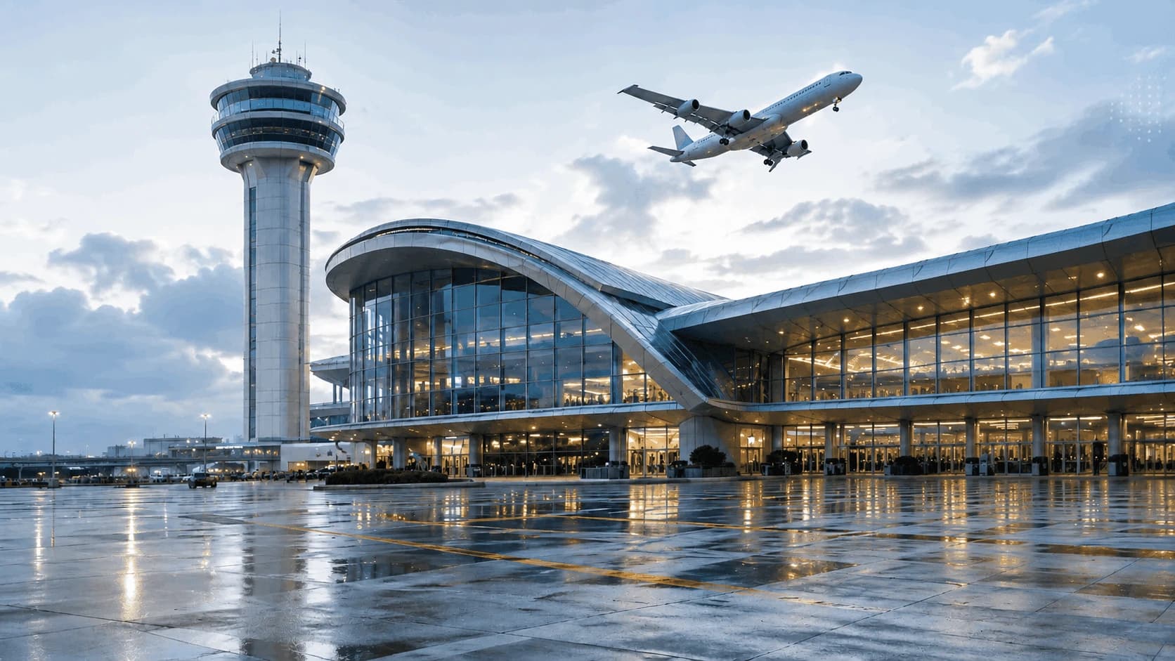
Airports
Guidance, self-service and operational intelligence for high-traffic environments.
- Visitors with recurring questions
- Lack of visibility into flow and queues
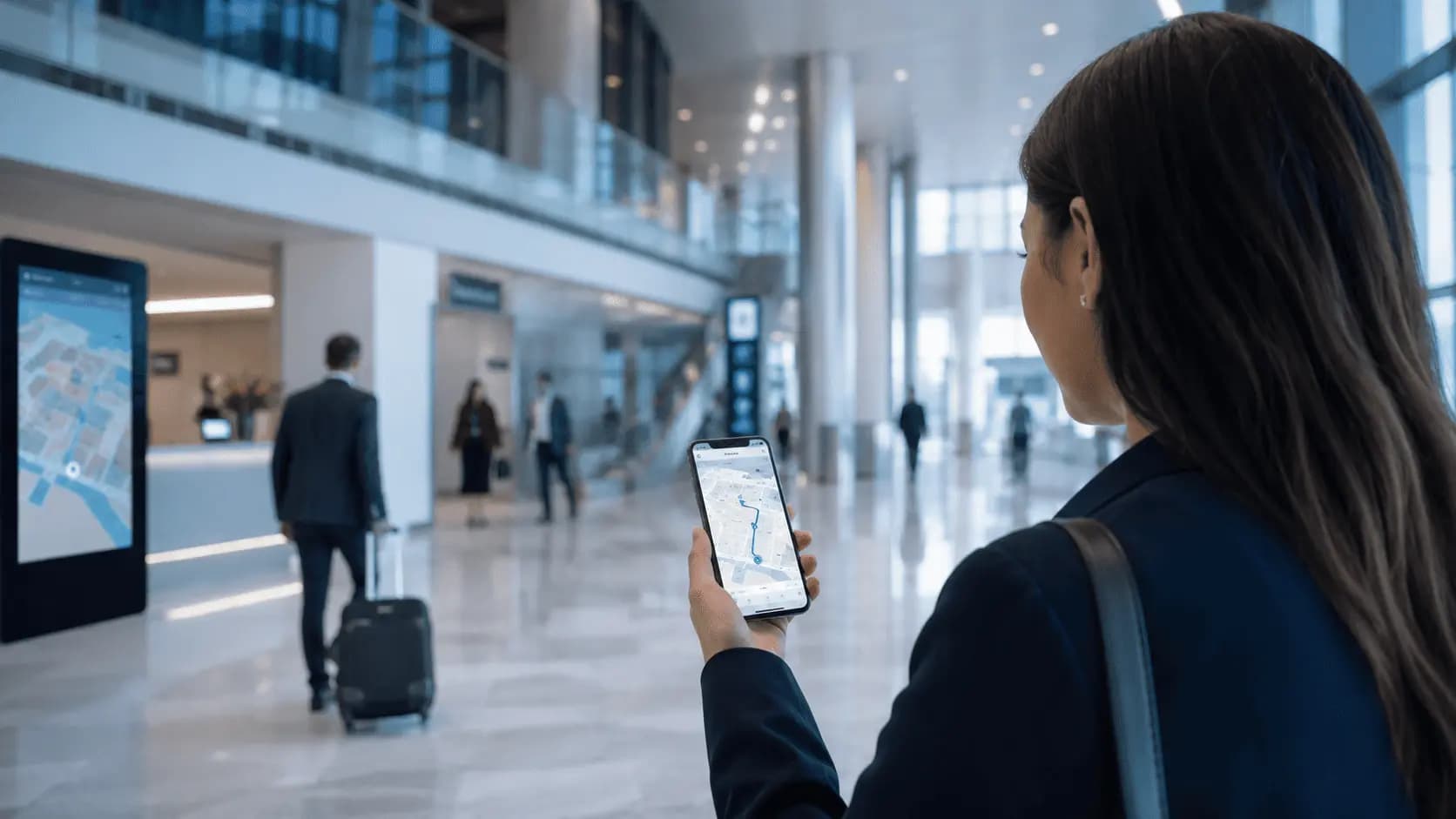
Routes and orientation for services and points of interest inside the physical environment.
Direct answer
Indoor navigation is a Blucom solution to address recurring operational problems in physical environments with a modular combination of products and data.
Blucom structures this solution from the operational problem first, then combines the products that make sense for the environment.
Operational challenges
Difficulty finding gates, stores, services and internal areas
Low continuity between kiosk and mobile
Indicators and outcomes
Fewer questions at service desks
Clearer and more predictable internal circulation
How Blucom responds
Blucom starts from the environment challenge and then defines which products, channels and data flows should compose the delivery.
The solution can start small, validate fit and evolve with new modules as the operation gains maturity.
When relevant, the project turns usage, service or flow signals into indicators for decision-making.
Products involved

Indoor digital map to guide visitors in large spaces
Routes, points of interest, QR Codes, kiosks, multilingual support, contextual information, and usage data for airports, shopping malls, events, and complex environments.
Where it fits best
Guidance, self-service and operational intelligence for high-traffic environments.
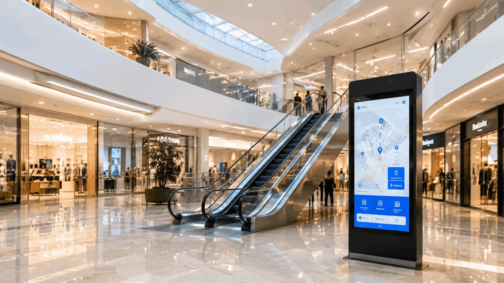
Navigation, store and service discovery, and data-driven operations.
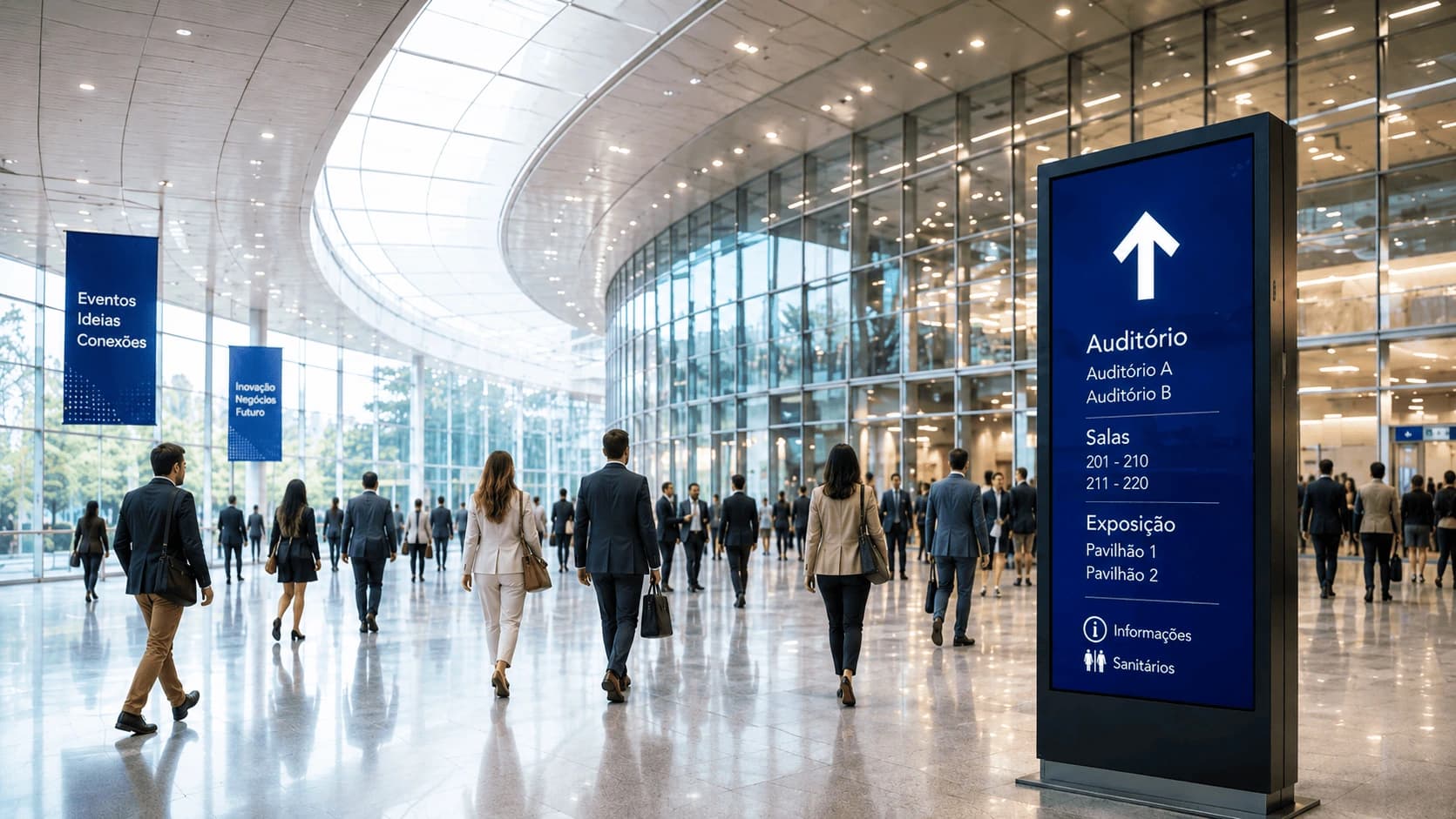
Maps and self-service to guide audiences in events and trade shows.
Proof or context
Routes and orientation for services and points of interest inside the physical environment.
Case studies
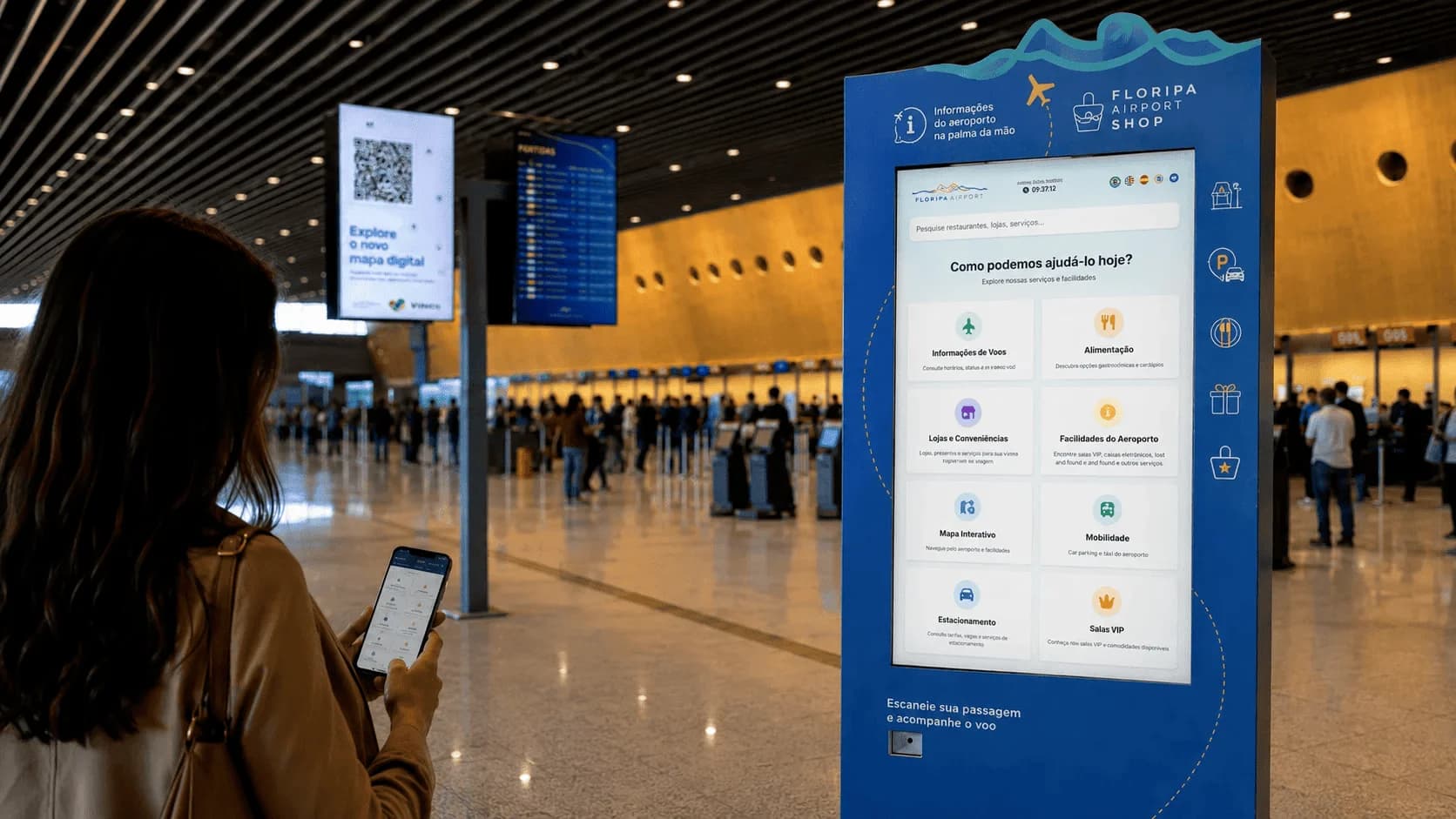
Passenger information, self-service and guidance hub for airports
At Floripa Airport, Blucom evolved the initial digital map into a complete passenger information hub available on kiosks and mobile devices, bringing together flights, indoor maps, routes, directories, services, boarding guidance, useful content and WhatsApp messaging.
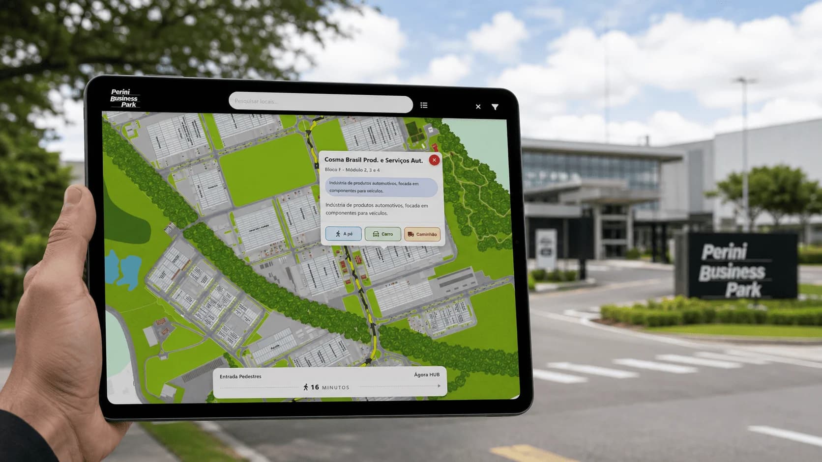
Georeferenced digital map for navigation in a large business and industrial park
At Perini Business Park, in Joinville/SC, Blucom implemented Blumaps to guide visitors, truck drivers, couriers, employees and service providers across a large business and industrial park. The solution allows users to search companies and places, use geolocation, generate internal routes and choose the best path on foot, by car or by truck.
FAQ
Share your environment, operating goal and current constraints so Blucom can suggest a realistic starting path.